Real drone inspection jobs, real access problems solved
Every inspection starts with a simple question: how do we get eyes on this safely? Here's how a drone answered that question for two very different situations.
Letting a tenant see what was left
After a fire tore through a multi-unit residential building, a top-floor tenant needed to see the condition of their condemned apartment. The building was unsafe to enter — no inspector, insurance adjuster, or resident could go inside. A drone flight was the only way to get a clear, close look at the damage, giving the tenant real answers without anyone setting foot on unstable floors.
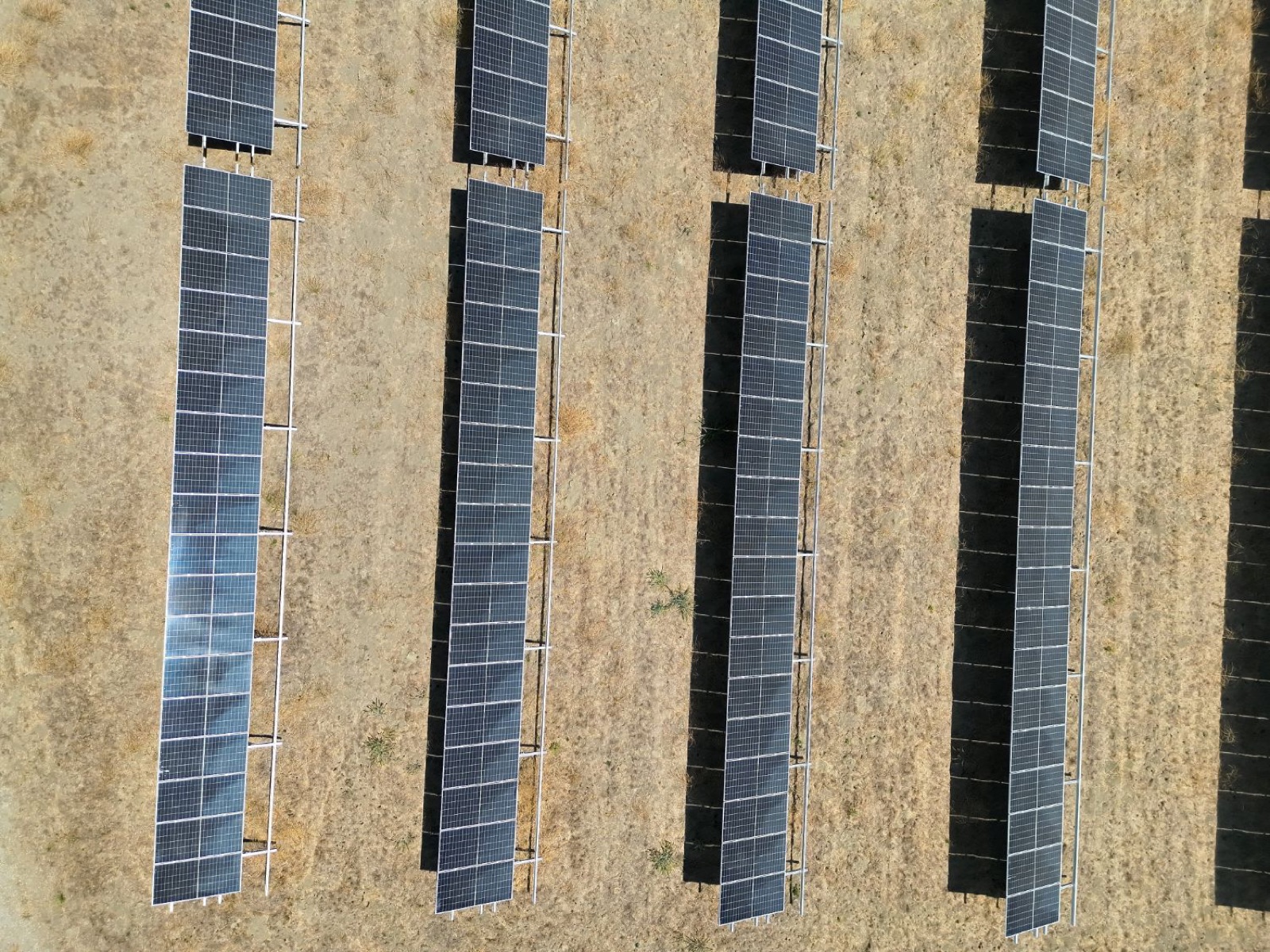
Scanning acres of panels in one flight
Walking a solar installation row by row to check for damage, misalignment, or debris takes hours and still misses things a straight-down view catches instantly. One aerial pass covers the entire array, making it easy to spot problem panels, verify installation, or document the site's condition at a point in time. We can also run a thermal pass over the array to spot hot spots, failed cells, and underperforming panels — the kind of efficiency losses that are invisible to the eye but show up clearly on an infrared camera, so problems get fixed before they cost you real output.