What is drone mapping and what is it used for?
Drone mapping uses a drone to capture hundreds of overlapping photos in a planned flight pattern, which software then turns into accurate maps and 3D models of a site. It is used for construction, property development, agriculture, and documenting a site's condition at a point in time.
What is an orthomosaic map?
An orthomosaic map is a single high-resolution, top-down image stitched together from hundreds of overlapping drone photos. It is similar to a satellite map, but far sharper, and it shows your site as it looked on the day we flew.
What is a 3D oblique model?
A 3D oblique model is built from photos taken from multiple angles around a site, including the sides of structures. The result is a navigable 3D model you can rotate and zoom to see every roofline, grade change, and structure from any direction.
How does drone mapping work?
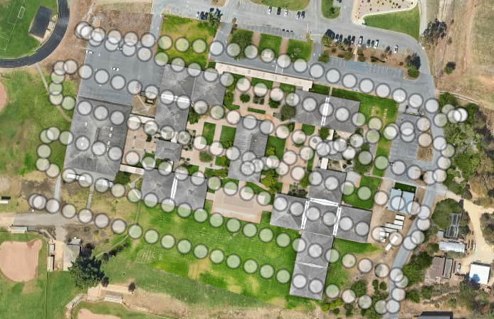
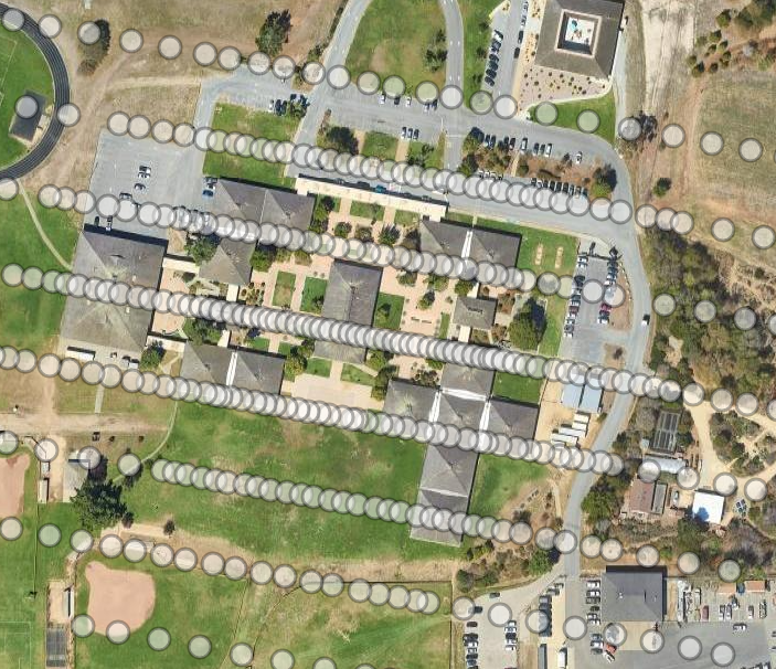
We pre-plan every waypoint with GPS-guided software, then the drone flies the exact plan at a consistent altitude and speed with 75% or more photo overlap. For an orthomosaic map the drone flies a grid directly overhead, and for a 3D model it orbits the site at multiple angles. Software then processes the photos into your map or model.
How much does drone mapping cost?
The cost depends on the size of the site, whether you need an orthomosaic map, a 3D model, or both, and the formats you want delivered. Send us the location and what you want captured, and we will follow up with questions, a timeline, and a price. There is no commitment to request a quote.
What file formats do I receive after a drone mapping project?
We can deliver a high-resolution orthomosaic image, a navigable 3D model, an MP4 video flythrough, GeoTIFF, KMZ for Google Earth, a point cloud, or a shareable web link. Tell us how your team works and we will deliver in a format you can use.
Can drone mapping track construction progress?
Yes. Flying the same site again gives you a current aerial map each time, so you can track progress week by week and make before-and-after comparisons without putting anyone on a ladder.
What areas do you serve for drone mapping?
We serve communities within about 100 miles of Monterey, including Monterey, Salinas, Santa Cruz, Hollister, San Jose, and Paso Robles, across Monterey, Santa Cruz, and San Benito counties and the surrounding Central Coast.